

Paperback: $23.95 at Amazon
Epubs also available for: $12.95 at:


Paperback: $23.95 at Amazon
Epubs also available for: $12.95 at:
Pair the book with:
See the Kenai Fjord's:
Top Destinations
Resurrection Bay
Day Harbor
Aialik Bay (KFNP)
Northwestern Fjord (KFNP)
Nuka Island
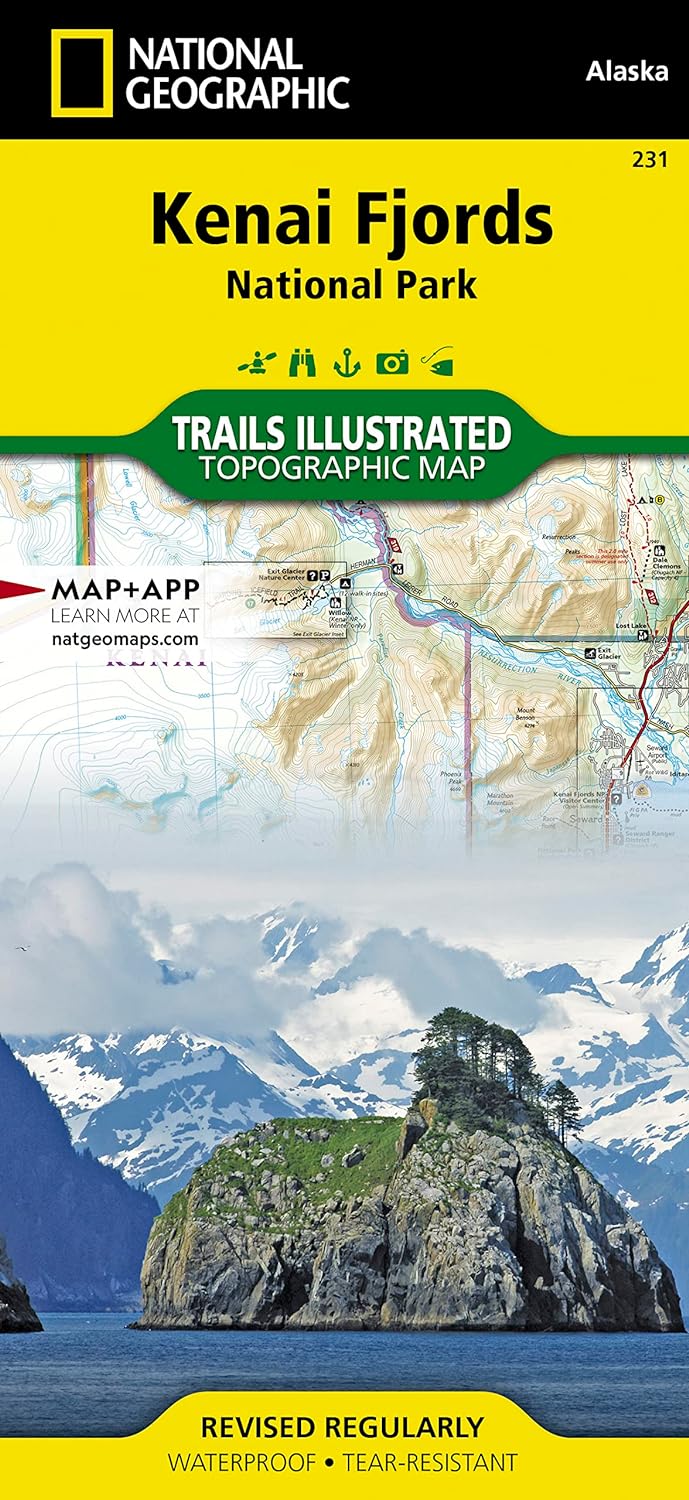
Kenai Fjords Maps
Day Harbor Maps
Day Harbor Maps

A sailor's first visual contact with Day Harbor (right) is usually along the precipitous southern end of Resurrection Peninsula between Cape Resurrection and Driftwood Bay. Here the 4 mile-long seacoast echoes with the roar of surf and cries of seabirds against a scenic display of eroded sea caves, rock pinnacles, and talus piles. Day Harbor has two State Marine Parks and is located 25 miles, by boat, from Seward.

Head of Day Harbor
Ellsworth Valley is a glacial moraine covered plain with a thick spruce and alder forest, punctuated by patches of lichen-covered clearings. The beach has a grand view down Day Harbor. The Ellsworth glacial stream, at the west end of the beach marks the best hiking route to Ellsworth Lake. A loosely marked trail (survey tape) lies along the stream's east bank.

Bootleg Cove
A local legend claims that during the prohibition era, a Seward saloon owner operated a secret whiskey still, behind the beach, in Bootleg Cove. To reach the lagoon from the Bootleg Cove requires a short trek, less than 100 yard, across the wooded peninsula to the lagoon's shore. In fall, chum salmon enter the lagoon to spawn. Black bears are commonly seen roaming the lagoon's shoreline.
Explore Western Prince William Sound at: wildernessimage.com