

Paperback: $23.95 at Amazon
Epubs also available for: $12.95 at:


Paperback: $23.95 at Amazon
Epubs also available for: $12.95 at:
Pair the book with:
See the Kenai Fjord's:
Top Destinations
Resurrection Bay
Day Harbor
Aialik Bay (KFNP)
Northwestern Fjord (KFNP)
Nuka Island
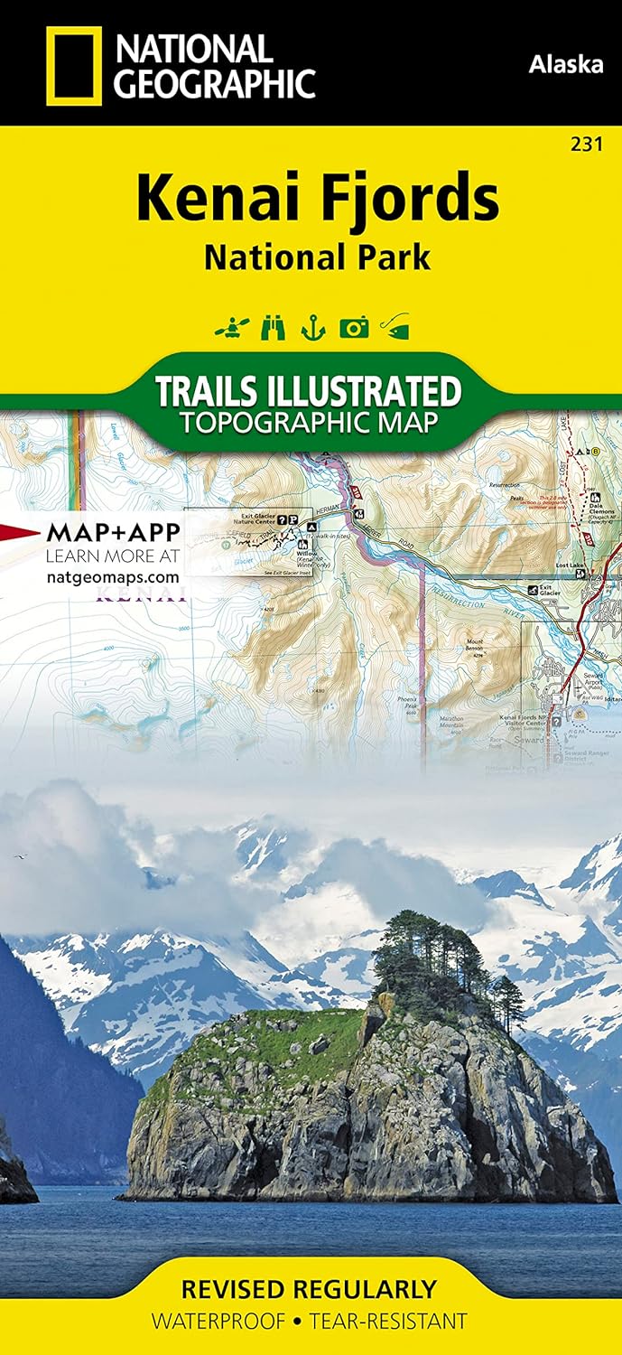
Kenai Fjords Maps
Day Harbor Maps
Kenai Fjords Overview (Regional) Maps
Northwestern Fjord Map (Overview)

The Kenai Fjords National Park (KFNP) comprises a major portion of the Kenai Peninsula outer coast southwest of Seward. This is where the Gulf of Alaska meets the glacier-sculpted Kenai Mountains. In total, eight major glacial fjords fall within the KFNP boundary. Northwestern Fjord (right) is the most spectacular fjord in the KFNP. It is well-protected by its shallow moraine bar from the violent storm waves that funnel into Harris Bay. It is a kayaker's paradise.
As recently as 1909, when it was first surveyed, Northwestern Fjord was buried under a thick layer of ice. If you only have time to visit one place in the Kenai Fjords National Park, Northwestern Fjord is the place to go! See Northwestern Fjord Photos.

Nuka Island Map (Overview)
Nuka Island (Kachemak Bay State Park) is wild and remote. The island is 70 nautical miles south of Seward, and one of the least visited locations on the outer coast. It's a wonderful place to explore. The island is the largest on the Kenai Peninsula outer coast. A handful of indentions along the east shore of Nuka Passage, including Home Cove, Petes Cove, Mikes Bay and Berger Bay, are sheltered from gulf coast storms waves. In mild weather, all the coves on the island's west shore are hospitable spots for a base camp or for waiting out foul weather. Caution: Nuka Island's western shore is shallow and rocky. The tidal inlet at the head of Mikes Bay goes dry at low water and should be avoided by vessels. See Nuka Island Photos
Explore the fjords of Western Prince William Sound at: wildernessimage.com